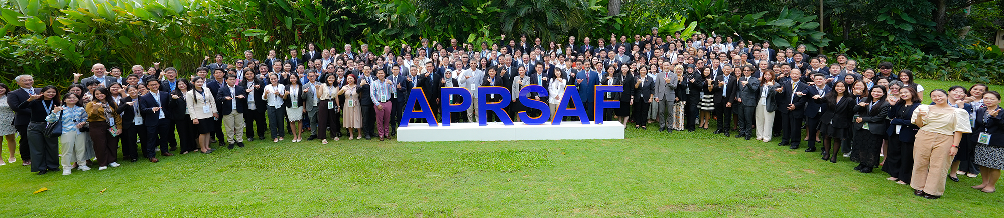
The 31st Asia-Pacific Regional Space Agency Forum (APRSAF-31) was held from 18 to 21 November 2025 in Cebu, Philippines, under the theme “Empowering the Region through Space Ecosystems in Action.” The Forum brought together space agencies, government organisations, research institutions, industry partners and other stakeholders from across the Asia-Pacific to share progress on space applications for sustainable development and regional cooperation. The programme included a range of plenary sessions and working group meetings focused on advancing space applications for societal benefit.
As part of the Forum, the Satellite Applications for Societal Benefit Working Group (SAWG) meeting took place on 18-19 November, including a dedicated session on updates to the SAFE Initiative. The session highlighted progress under the SAFE Asia Rice Crop Monitoring Project, which continues to support the use of satellite Earth observation data for rice area mapping, national agricultural statistics, and food security monitoring in Southeast Asia. Ongoing capacity-building activities, including INAHOR training workshops, are helping ASEAN countries operationalise satellite-derived rice maps within the ASEAN Food Security Information System (AFSIS)
Updates were also provided on the CH4Rice Project, which is advancing the monitoring of methane emissions from rice paddies using satellite and in situ observations, supporting climate mitigation efforts and sustainable rice cultivation practices. Its activities improve understanding of emission dynamics and explore the benefits of sustainable water management practices, such as Alternate Wetting and Drying (AWD). Study areas in key rice-producing regions are progressing with field data collection on water levels and CH4 fluxes, and preliminary satellite analysis results have been presented to participants. These activities aim to strengthen climate-relevant applications of Earth observation and inform future carbon-mitigation strategies in agriculture.
Beyond agriculture, APRSAF-31 discussions covered disaster risk reduction activities under Sentinel Asia, GNSS applications, and broader capacity-building initiatives, reinforcing the importance of regional collaboration and operational use of satellite data.
Read more here: https://www.aprsaf.org/annual_meetings/aprsaf31/meeting_details.php