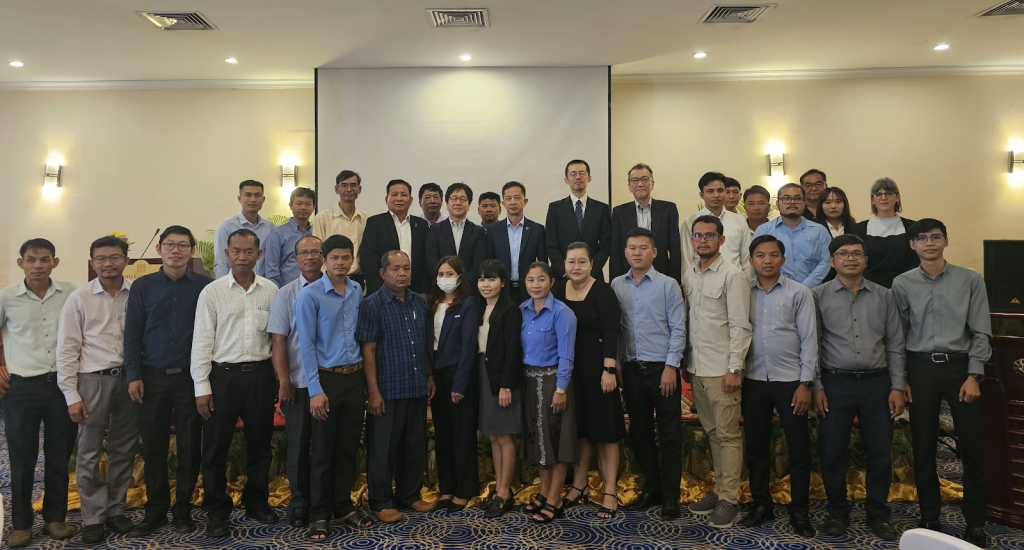
A series of INAHOR training workshops were conducted across ASEAN Member States during 2024-2025 under the SAFE Rice Crop Monitoring Project, led by Thailand’s Geo-Informatics and Space Technology Development Agency (GISTDA). The workshops aimed to strengthen technical capacity among national agricultural agencies in the use of satellite-based rice mapping tools to support improved agricultural statistics and decision-making.
The INAHOR rice mapping software, developed by JAXA and implemented as a Google Earth Engine (GEE) application, enables end users to generate rice area maps using ALOS-2 ScanSAR data, which are made available on GEE within two weeks of satellite observation. The tool is designed to support end users, such as Ministry of Agriculture officials, for improving rice statistics with scientific evidence.
The INAHOR training workshops in Myanmar, Cambodia, and Lao PDR were conducted in 2025, following the 23rd AFSIS Focal Point Meeting held in Yangon, Myanmar, on 17-18 June 2025, where progress on the SAFE Rice Crop Monitoring Project and the INAHOR tool was shared with regional stakeholders.
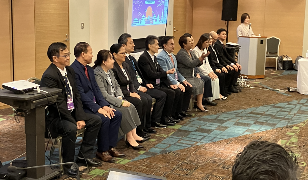
The first in-country workshop took place in Nay Pyi Taw, Myanmar, on 23-24 June 2025, followed by a workshop in Phnom Penh, Cambodia, on 6-7 August 2025, and a session in Lao PDR later in 2025.
The training workshops highlighted the importance of developing high-quality training datasets to improve rice mapping accuracy and noted ongoing technical challenges in classifying areas with small land parcels.