The JAPAN-ASEAN Integration Fund (JAIF) capacity building project under the Rice Monitoring initiative is supporting ASEAN Member States to strengthen agricultural statistics and damage assessment through the use of Earth Observation (EO) satellite technologies. It aims to develop innovative geospatial analysis methods and satellite remote sensing techniques to improve the accuracy, reliability, and timeliness of paddy rice area statistics and damage assessments across the ASEAN region.
The JAIF project “Improvement of Paddy Rice Area Statistics and Damage Assessment using Earth Observation Satellite for ASEAN” was proposed by Thailand’s Geo-Informatics and Space Technology Development Agency (GISTDA) and implemented by the Japan Space Forum (JSF), and was approved in June 2024.
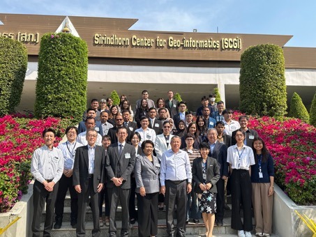
As part of the project’s initial activities, an Inception Workshop was held from 22-24 January 2025 at GISTDA, Thailand. The workshop introduced the project objectives, implementation plan, and technical approach, and provided a platform for ASEAN stakeholders to discuss requirements and expectations. A follow-up Training Workshop is planned for May 2026.
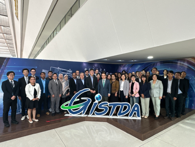
In parallel, a two-day INAHOR training course was conducted at GISTDA from 23-24 January 2025 for representatives from ASEAN Ministries on Agriculture and Forestry (AMAF) and Sub-Committee on Space Technology and Applications (SCOSA) members. This marked the first INAHOR training delivered under the JAIF Rice Monitoring project and focused on practical applications of EO data for agricultural statistics and damage assessment.
The results of the project are also being explored for potential utilisation by private sector agribusiness companies.
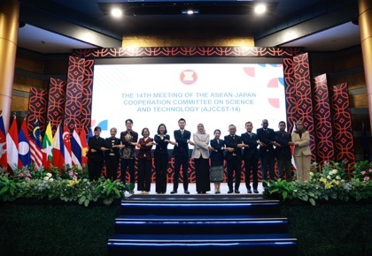
Progress on the JAIF project was reported by Thailand at the 14th Meeting of the ASEAN-Japan Joint Consultation Committee on Science and Technology (AJCCST-14), held on 19 June 2025 in Jakarta, Indonesia, highlighting continued cooperation between ASEAN and Japan in advancing space-based applications for agriculture.